


-
-
Advanced RPAS Certificate
$600.00 – $900.00 Select options This product has multiple variants. The options may be chosen on the product page -
Basic RPAS Certificate
$100.00 – $150.00 Select options This product has multiple variants. The options may be chosen on the product page -
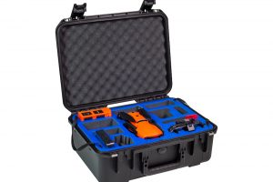
Autel Robotics EVO II DUAL 640 Standard Rugged Bundle
Read more8K HD video
640×512 Resolution
Refresh rate: 30Hz
5.5 miles Transmission Range
40 minutes flight time
Picture-in-picture mode
10 Thermal Colour Palettes -
-
Autel Robotics EVO II Pro 6K Rugged Bundle
$3,495.00 Add to cart6K HD video
1″Sensor
10-BIT HDR
9KM Transmission Range
40 minutes flight time
3x Lossless
360° Obstacle Avoidance -
-
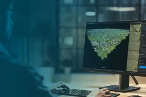
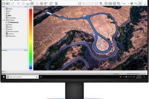
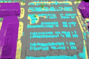
Pix4Dmatic
Read morePix4Dmatic is designed to work with the latest generation of drones for professional applications and transforms your large number of images into accurate point clouds, DSMs and orthomosaics.
-
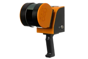
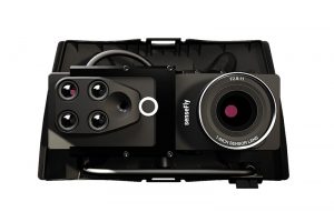
ZEB Horizon
Read morePoints per second: 300,000
Number of Sensors: 16
Relative accuracy: up to 6mm
Range: 100 meters -

Pix4Dcloud
Read moreGet an instant view of any jobsite from anywhere, on your browser, in 2D and 3D, with results you can measure, explore, compare, share and collaborate on.
-
Pix4Dmapper
Read moreDefine an area of interest, select processing options, add ground control points or edit point clouds, DSMs, meshes, and orthomosaics.
-
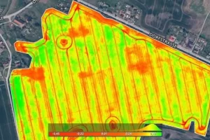
Pix4Dfields
Read moreCreate accurate field maps, generate insights and analyze field data in real time to increase crop productivity