


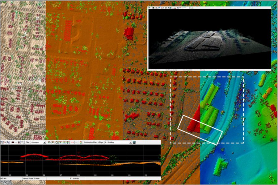
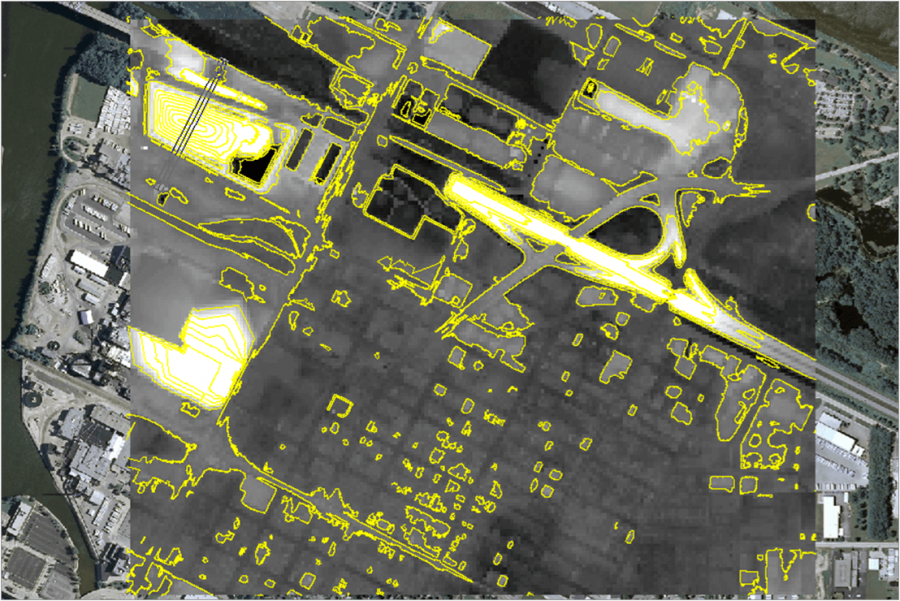
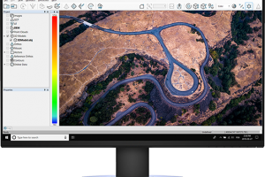
QUALITY CONTROL YOUR DATA
Quality control your captured LiDAR data or images from any aircraft or mobile sensor of your choice.

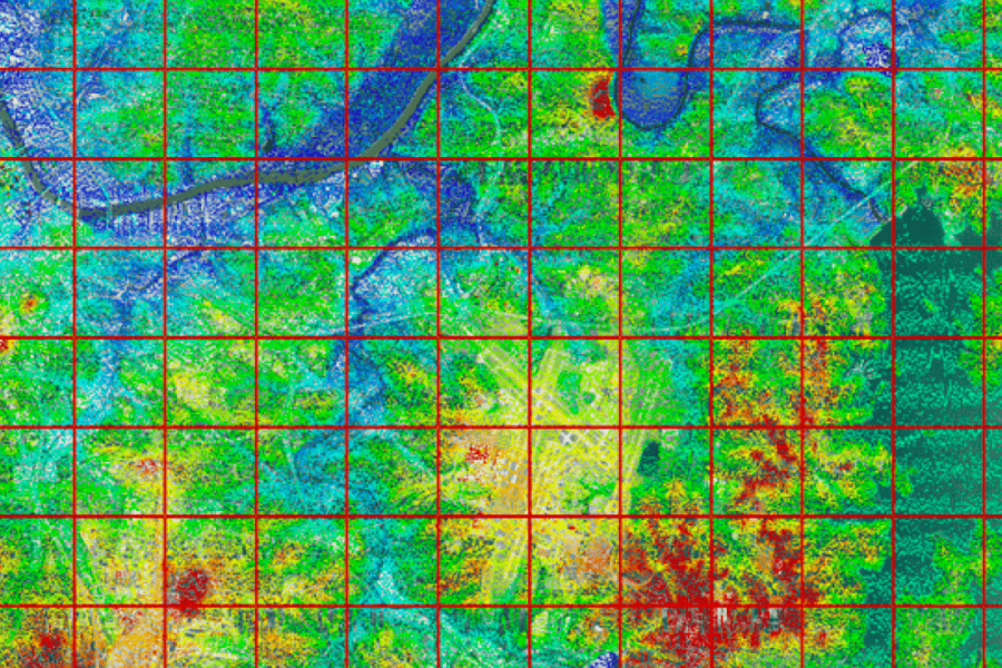
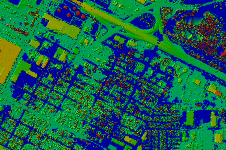
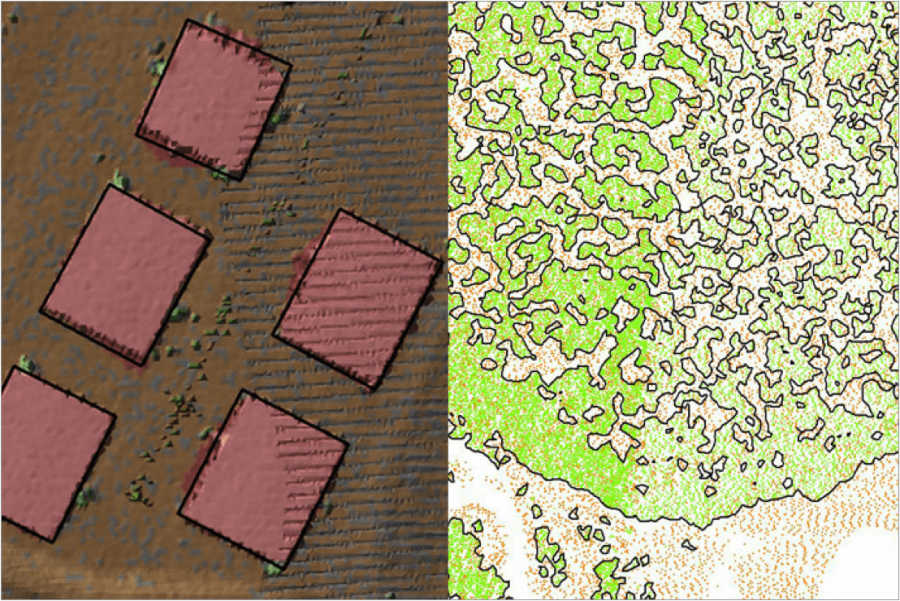
PROCESS, ANALYZE, & EXTRACT VALUE
Use an extensive toolbox of geospatial tools for deriving products that serve multiple industries and applications.

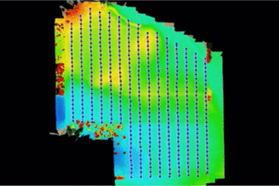
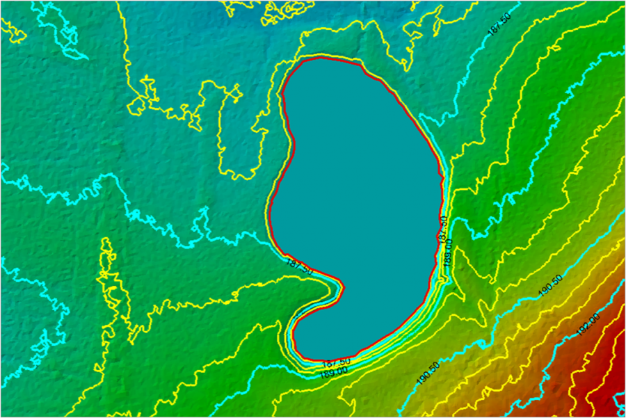
PUT YOUR DATA TO WORK
Deploy your accurate and fully processed data into actionable results or share with customers.
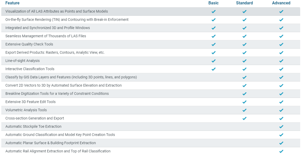
Related products
-

MicroSurvey FieldGenius
FieldGenius is brand neutral, with drivers to support most common hardware available in the market today, as well as yesterday.
-
CORRELATOR3DTM SOFTWARE
Fast processing on GPUs and multi-core CPUs.
-
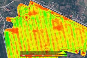
Pix4Dfields
Create accurate field maps, generate insights and analyze field data in real time to increase crop productivity