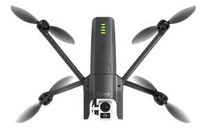
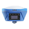
How to Survey with a Drone: A Guide to Efficient Aerial Mapping
Revolutionizing Surveying with Drones In today’s geospatial industry, surveying drones have transformed how professionals collect, analyze, and process data. Traditional land surveying methods often require extensive manpower, time, and resources. However, with advancements in drone technology, surveying has become more efficient, cost-effective, and accurate. At CartoCanada, we provide industry-leading mapping and inspection drones, mobile […]
How to Survey with a Drone: A Guide to Efficient Aerial Mapping Read More »


