


Faro & GeoSLAM
-
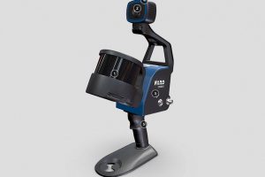
FARO® Orbis™
Read moreFARO® Orbis™ is a unique mobile scanning solution created to optimize workflows and elevate productivity.
-
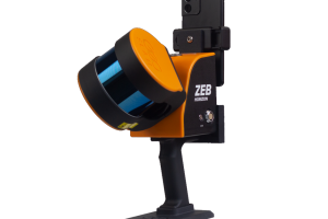
GeoSLAM Horizon RT
Read morePoints per second: 300,000
Number of Sensors: 16
Relative accuracy: up to 6mm
Range: 100 meters -
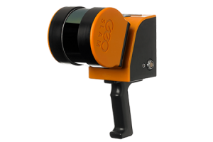
ZEB Horizon
Read morePoints per second: 300,000
Number of Sensors: 16
Relative accuracy: up to 6mm
Range: 100 meters