-
-
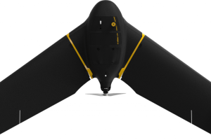
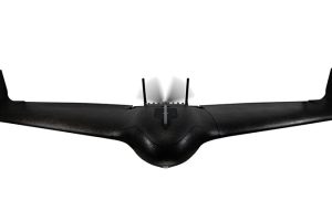
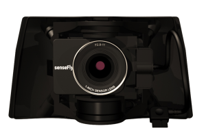
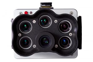
eBee TAC Government
Read more- 1.5 cm / 0.6 in mapping accuracy
- 90 minutes flight time
- 500 ha / 1,235 ac in a single flight
- 1.6 kg / 3.6 lbs
-
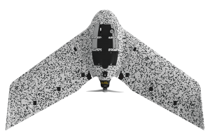
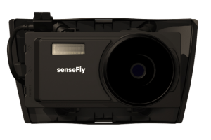
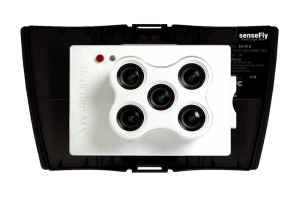
eBee TAC Public Safety
Read more- 500 ha / 1,235 ac in a single flight
- 90 minutes flight time
- 1.6 kg / 3.5 lbs
- 1.5 cm / 0.6 in mapping accuracy
-
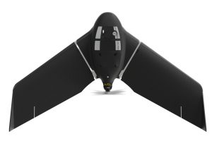
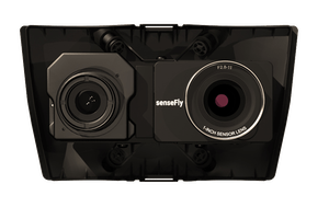
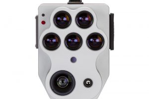
eBee Vision
Read moreAES-256 encryption
Flight time up to 90 min.
Takeoff weight 1.6 kg
Wireless range Up to 20 km
-
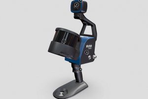
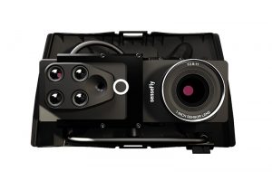
FARO® Orbis™
Read moreFARO® Orbis™ is a unique mobile scanning solution created to optimize workflows and elevate productivity.
-
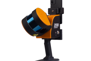
GeoSLAM Horizon RT
Read morePoints per second: 300,000
Number of Sensors: 16
Relative accuracy: up to 6mm
Range: 100 meters -
ZEB Horizon
Read morePoints per second: 300,000
Number of Sensors: 16
Relative accuracy: up to 6mm
Range: 100 meters
-
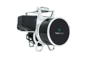
TrueView 435
Read moreLaser Scanner – Hesai Pandar XT
LIDAR Beams/Returns – 6/2
Pulse Repetition Rate – 320 kHz
Position and Orientation System (POS) – Applanix APX-15
Camera Sensor – 1″ mechanical shutter hardware mid-exposure pulse 20 MP RGB -
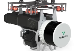
Trueview 515
Read moreLiDar Scanner – Hesai PandarXT-32
LIDAR Beams/Returns – 32/2
Pulse Repetition Rate – 640 kHz
Dual Cameras (Port, Starboard) – ‡25° cross-track oblique
Camera Sensor – Sony 1″ CMOS IMX-183 -
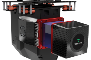
Trueview 535
Read moreLiDar Scanner – Hesai M2X
LIDAR Beams/Returns – 32/2
Pulse Repetition Rate – 640 kHz
Triple Cameras – ‡120° cross-track FOV combined
Camera Sensor – Triple 1’’ mechanical shutter, hardware mid-exposure pulse, 60 MP combined, RGB -
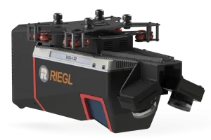
TrueView 655/660
Read moreLiDar Scanner – RIEGL miniVUX-3UAV
LIDAR Beams/Returns – Up to 5 per outgoing pulse
Pulse Repetition Rate – Up to 300 kHz (selectable)*
Position and Orientation System (POS) – (655) Applanix APX-15 | (660) Applanix APX-20
Camera Sensor – 3 Sony IMX-183: 1”, 20 MP, RGB -> 60 MP per payload -
TrueView 720
Read moreLiDar Scanner – RIEGL VUX-120
LIDAR Beams/Returns – Up to 5 per outgoing pulse
Pulse Repetition Rate – Up to 2.4 Mhz (selectable)*
Position and Orientation System (POS) – Applanix APX-20
Camera Sensor – Triple 1” sensor with mechanical shutter, hardware mid-exposure pulse, 60 MP combined, RGB.
-
Autel Robotics EVO II Pro 6K Rugged Bundle
$3,495.00 Add to cart6K HD video
1″Sensor
10-BIT HDR
9KM Transmission Range
40 minutes flight time
3x Lossless
360° Obstacle Avoidance -
Autel Robotics EVO II DUAL 640 Standard Rugged Bundle
Read more8K HD video
640×512 Resolution
Refresh rate: 30Hz
5.5 miles Transmission Range
40 minutes flight time
Picture-in-picture mode
10 Thermal Colour Palettes -
Autel Robotics EVO II Dual 640T Enterprise V3
Read moreThermal and RGB Dual Sensor
5.5 miles Transmission Range
42 minutes flight time
Moonlight Algorithm -
Autel Robotics EVO II Dual 6K Enterprise V3
$5,750.51 Add to cart6K 1″ CMOS Sensor
5.5 miles Transmission Range
42 minutes flight time
Moonlight Algorithm
-

LP360 Drone
Read moreProcess, analyze, and maximize drone survey data, producing valuable information and deliverables
-
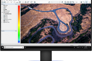
Pix4Dmapper
Read moreDefine an area of interest, select processing options, add ground control points or edit point clouds, DSMs, meshes, and orthomosaics.
-

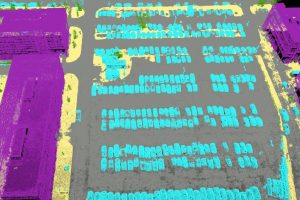
LP 360 Geospatial
Read moreQuality control LiDAR data, extract information, and derive products from large datasets
-
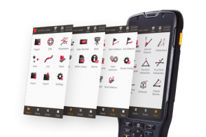
Tersus TC50 Data Controller w/ NUWA or MicroSurvey
Read moreThe TC50 is a rugged data controller with a 5” sunlight-readable HD touch screen and an alphanumerical keypad.
-

MicroSurvey FieldGenius
Read moreFieldGenius is brand neutral, with drivers to support most common hardware available in the market today, as well as yesterday.
-
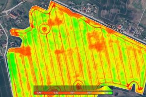
Pix4Dfields
Read moreCreate accurate field maps, generate insights and analyze field data in real time to increase crop productivity
-

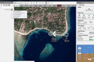
Pix4Dcloud
Read moreGet an instant view of any jobsite from anywhere, on your browser, in 2D and 3D, with results you can measure, explore, compare, share and collaborate on.
-

Pix4Dmatic
Read morePix4Dmatic is designed to work with the latest generation of drones for professional applications and transforms your large number of images into accurate point clouds, DSMs and orthomosaics.
-
-