Software
-
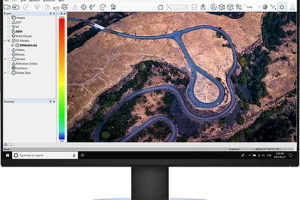
LP360 Drone
Read moreProcess, analyze, and maximize drone survey data, producing valuable information and deliverables
-
Pix4Dmapper
Read moreDefine an area of interest, select processing options, add ground control points or edit point clouds, DSMs, meshes, and orthomosaics.
-
LP 360 Geospatial
Read moreQuality control LiDAR data, extract information, and derive products from large datasets
-
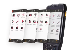
Tersus TC50 Data Controller w/ NUWA or MicroSurvey
Read moreThe TC50 is a rugged data controller with a 5” sunlight-readable HD touch screen and an alphanumerical keypad.
-

MicroSurvey FieldGenius
Read moreFieldGenius is brand neutral, with drivers to support most common hardware available in the market today, as well as yesterday.
-
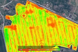
Pix4Dfields
Read moreCreate accurate field maps, generate insights and analyze field data in real time to increase crop productivity
-

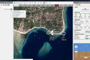
Pix4Dcloud
Read moreGet an instant view of any jobsite from anywhere, on your browser, in 2D and 3D, with results you can measure, explore, compare, share and collaborate on.
-
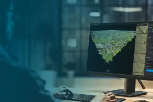
Pix4Dmatic
Read morePix4Dmatic is designed to work with the latest generation of drones for professional applications and transforms your large number of images into accurate point clouds, DSMs and orthomosaics.
-
-