


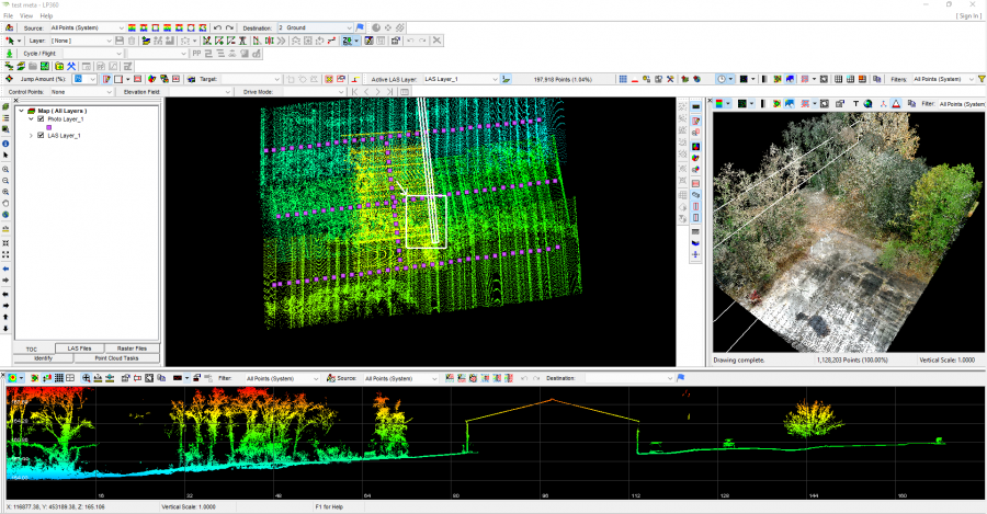
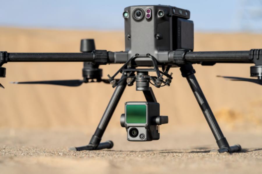
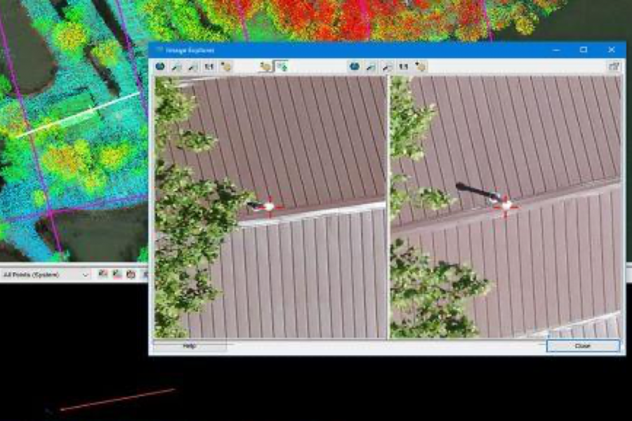
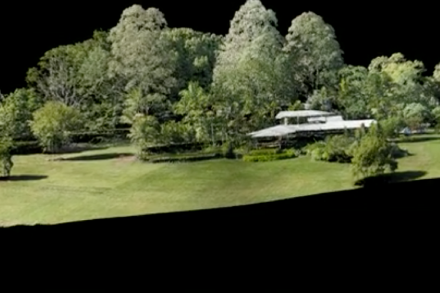
CREATE POINT CLOUDS FROM UAV RAW DATA
Transform and quailty control LiDAR and image data collected from your drone survey equipment.

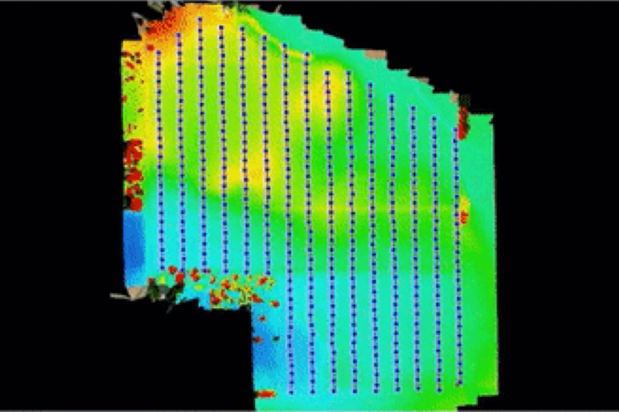
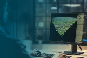
PROCESS, ANALYZE, & EXTRACT VALUE
Use an extensive toolbox of geospatial tools for deriving products that serve multiple industries and applications.

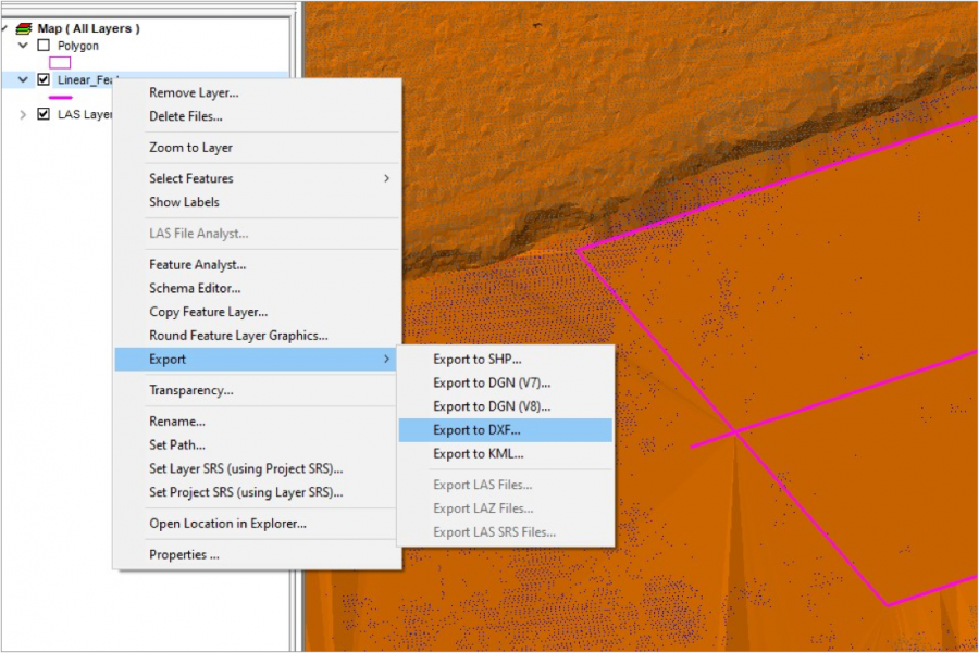
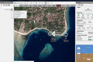
PUT YOUR DATA TO WORK
Deploy your accurate and fully processed data into actionable results or share with customers.
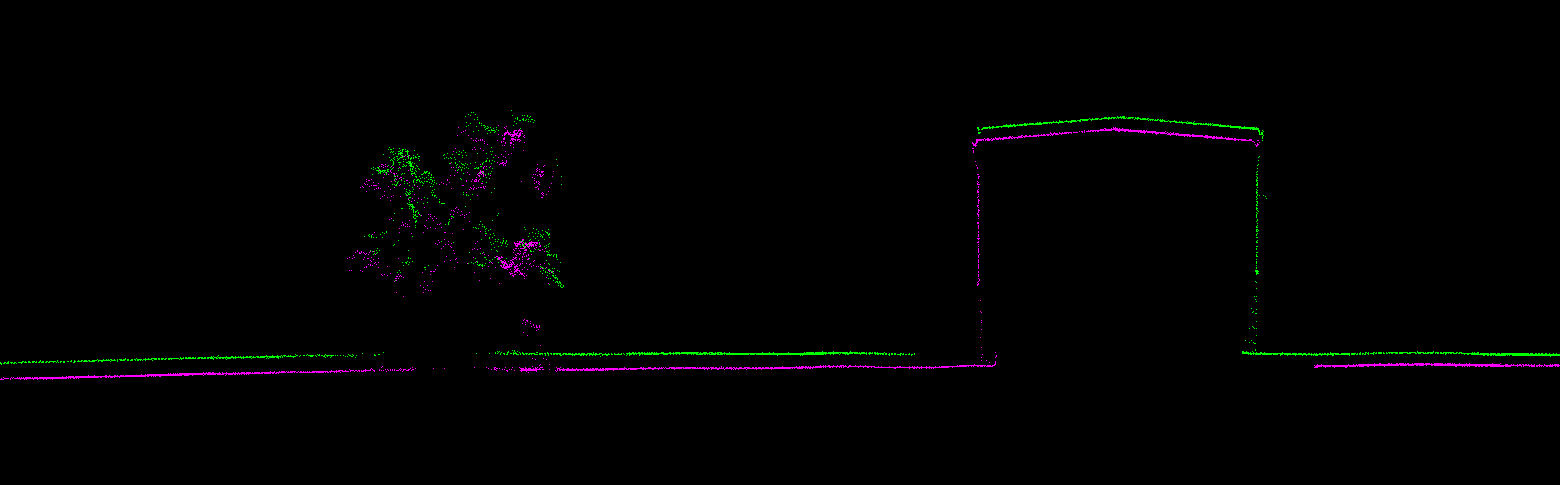
Before
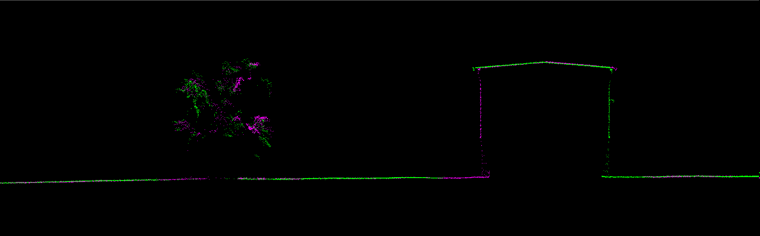
After
Related products
-
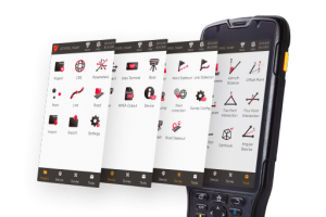
Tersus TC50 Data Controller w/ NUWA or MicroSurvey
The TC50 is a rugged data controller with a 5” sunlight-readable HD touch screen and an alphanumerical keypad.
-
Pix4Dmatic
Pix4Dmatic is designed to work with the latest generation of drones for professional applications and transforms your large number of images into accurate point clouds, DSMs and orthomosaics.
-
eMotion
eMotion is the only professional-grade drone software to support both fixed-wing and multirotor operations.