


-
-
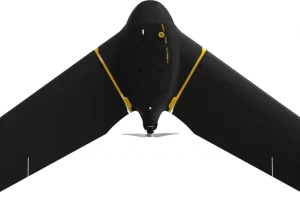
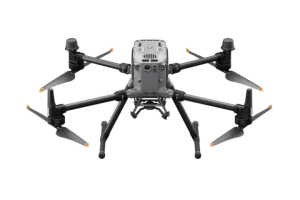
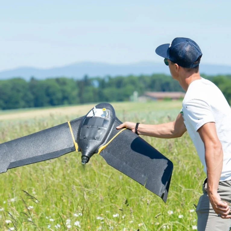
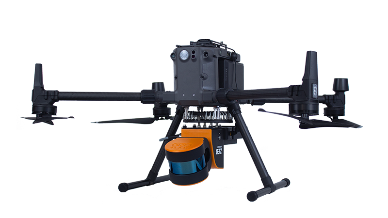
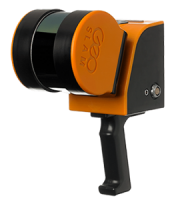
Matrice 300 RTK
$8,950.00 Add to cart15 km Max Transmission
55-min Max Flight Time
IP45 Rating
Smart Inspection
Smart Pin & Track
Primary Flight Display -
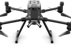
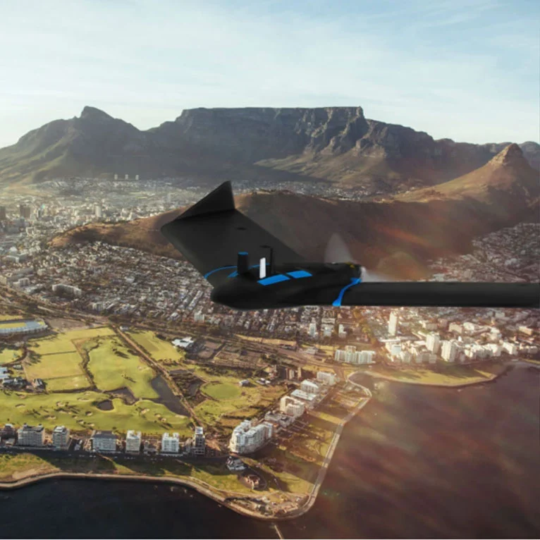
Matrice 350 RTK
$10,939.00 Add to cart20 km DJI O3 Enterprise Transmission
55-min Max Flight Time
IP55 Rating
6-Directional Sensing & Positioning
DJI RC Plus
Primary Flight Display
Night-Vision FPV Camera
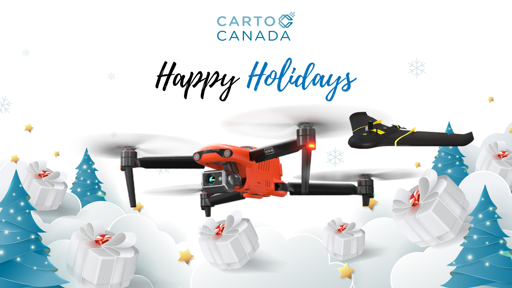
From our family to yours!
The CartoCanada family wants to wish you a very Merry Christmas and Happy Holidays. Thank you to all our clients for your continued patronage and

What is Aerial Mapping? A Comprehensive Guide to Modern Surveying from Above
For modern businesses and projects, accurate and efficient land surveying and mapping
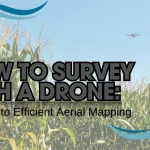
How to Survey with a Drone: A Guide to Efficient Aerial Mapping
Revolutionizing Surveying with Drones In today’s geospatial industry, surveying drones have

#CartoToursCanada
Welcome to the Carto (Tours) Canada Roadshow! We are pleased to announce