


-
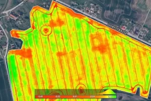
Pix4Dfields
Read moreCreate accurate field maps, generate insights and analyze field data in real time to increase crop productivity
-
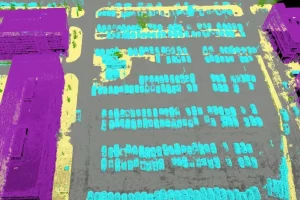
Pix4Dmapper
Read moreDefine an area of interest, select processing options, add ground control points or edit point clouds, DSMs, meshes, and orthomosaics.
-
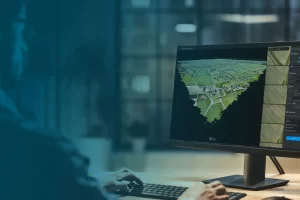
Pix4Dmatic
Read morePix4Dmatic is designed to work with the latest generation of drones for professional applications and transforms your large number of images into accurate point clouds, DSMs and orthomosaics.
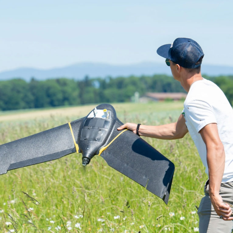
We are absolutely loving the [eBee SQ] unit so far. It is user friendly and has many features that were not available on UAVs that we have used in the past. We can quickly create missions and get it in the air, and most importantly for us, it is able to map thousands of acres per day. I can’t say enough about the support [...]. Not only are they always available to answer questions, they even came across the country to give us a personal training session for our newly purchased eBee.
Daniel Carr - G & C Imaging Solutions 
We are absolutely loving the [eBee SQ] unit so far. It is user friendly and has many features that were not available on UAVs that we have used in the past. We can quickly create missions and get it in the air, and most importantly for us, it is able to map thousands of acres per day. I can’t say enough about the support [...]. Not only are they always available to answer questions, they even came across the country to give us a personal training session for our newly purchased eBee.
Daniel Carr - G & C Imaging Solutions