


Related products
-
-
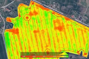
Pix4Dfields
Read moreCreate accurate field maps, generate insights and analyze field data in real time to increase crop productivity
-

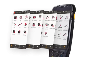
MicroSurvey FieldGenius
Read moreFieldGenius is brand neutral, with drivers to support most common hardware available in the market today, as well as yesterday.
-
Tersus TC50 Data Controller w/ NUWA or MicroSurvey
Read moreThe TC50 is a rugged data controller with a 5” sunlight-readable HD touch screen and an alphanumerical keypad.