


Autel Drones
-
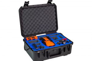
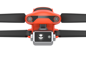
Autel Robotics EVO II Pro 6K Rugged Bundle
$3,495.00 Add to cart6K HD video
1″Sensor
10-BIT HDR
9KM Transmission Range
40 minutes flight time
3x Lossless
360° Obstacle Avoidance -
Autel Robotics EVO II DUAL 640 Standard Rugged Bundle
Read more8K HD video
640×512 Resolution
Refresh rate: 30Hz
5.5 miles Transmission Range
40 minutes flight time
Picture-in-picture mode
10 Thermal Colour Palettes -
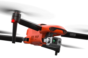
Autel Robotics EVO II Dual 640T Enterprise V3
Read moreThermal and RGB Dual Sensor
5.5 miles Transmission Range
42 minutes flight time
Moonlight Algorithm -
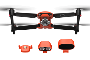
Autel Robotics EVO II Dual 6K Enterprise V3
$5,750.51 Add to cart6K 1″ CMOS Sensor
5.5 miles Transmission Range
42 minutes flight time
Moonlight Algorithm