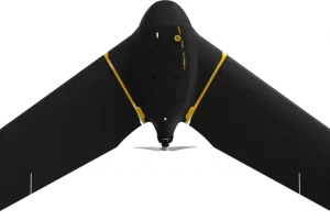
Specially designed for situation awareness
Perform in disconnected environments to act precisely. eBee TAC can be operated by one person and deployed in 3 minutes. 3D models, thermal and orthomosaics maps sharable locally.
eBee TAC swappable cameras allow you to collect data that can be used via the encrypted SD card for analysis and decision-making.
Camera options include RGB, 3D (patented) and thermal payloads for night flights.

Related products
-
eBee Vision
Read moreAES-256 encryption
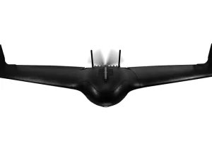
Flight time up to 90 min.
Takeoff weight 1.6 kg
Wireless range Up to 20 km -
eBee TAC Public Safety
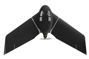
Read more- 500 ha / 1,235 ac in a single flight
- 90 minutes flight time
- 1.6 kg / 3.5 lbs
- 1.5 cm / 0.6 in mapping accuracy
-