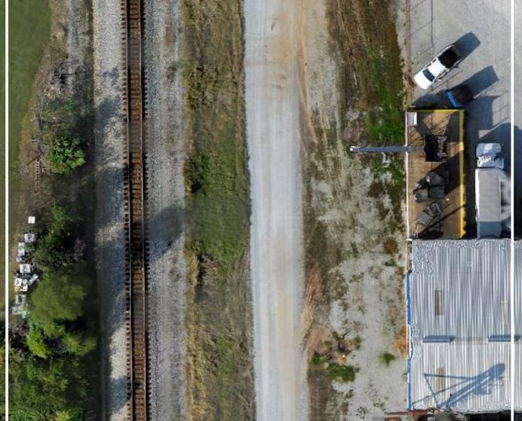
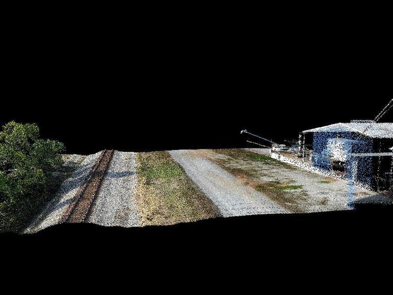
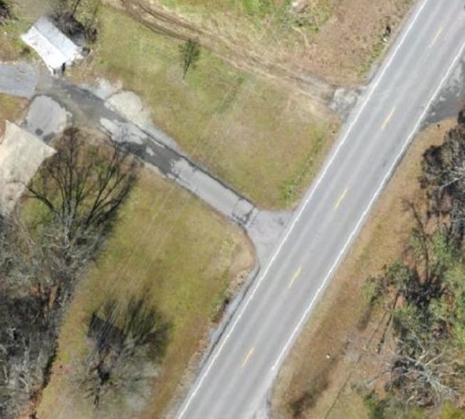
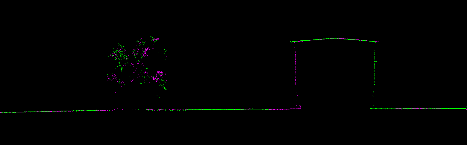
Before
After
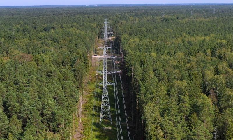
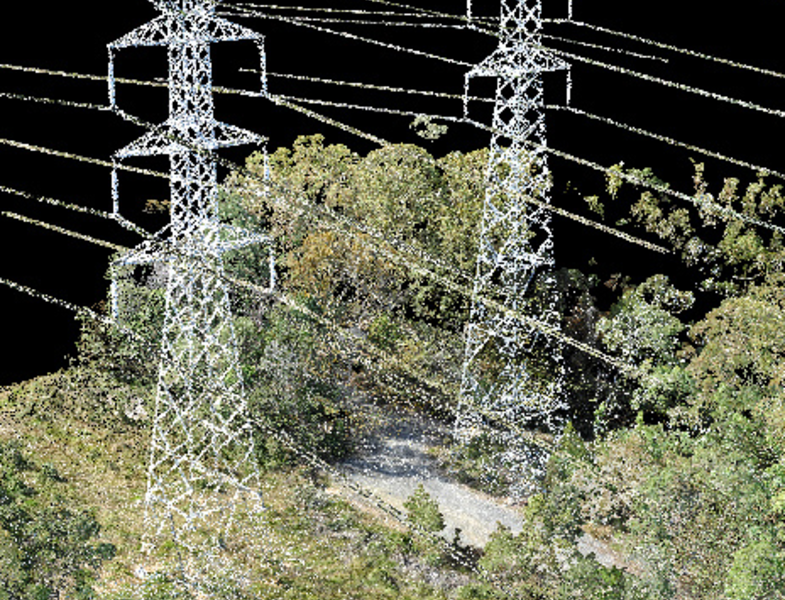
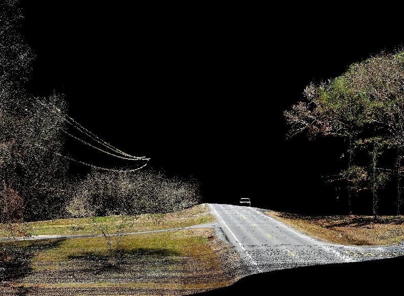
Before
After
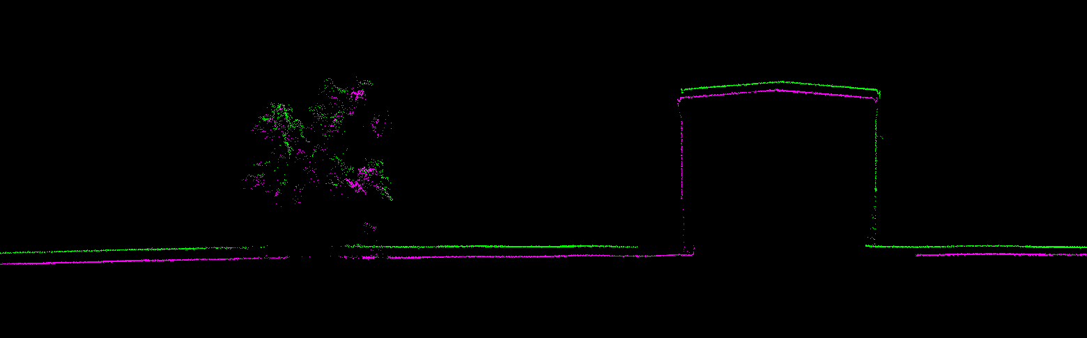
Before
After
DRONES
MOUNTING KITS
BASE STATIONS
SPARE PARTS
INSURANCE
FINANCE
Before
After


Related products
-
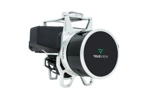
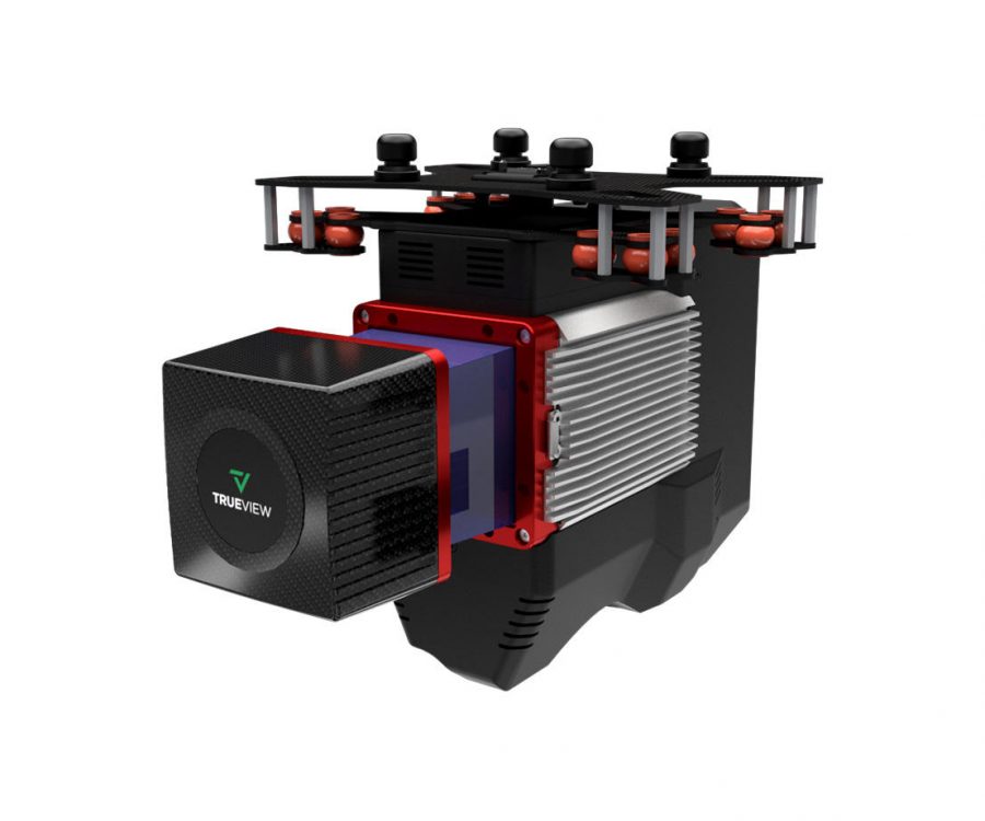
TrueView 435
Read moreLaser Scanner – Hesai Pandar XT
LIDAR Beams/Returns – 6/2
Pulse Repetition Rate – 320 kHz
Position and Orientation System (POS) – Applanix APX-15
Camera Sensor – 1″ mechanical shutter hardware mid-exposure pulse 20 MP RGB -
-