")


Speed
With 43,000 scanner points per second, it’s fast work scanning both simple and complex environments. You can carry out high-quality scans in less time.

Versatility
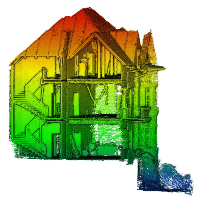
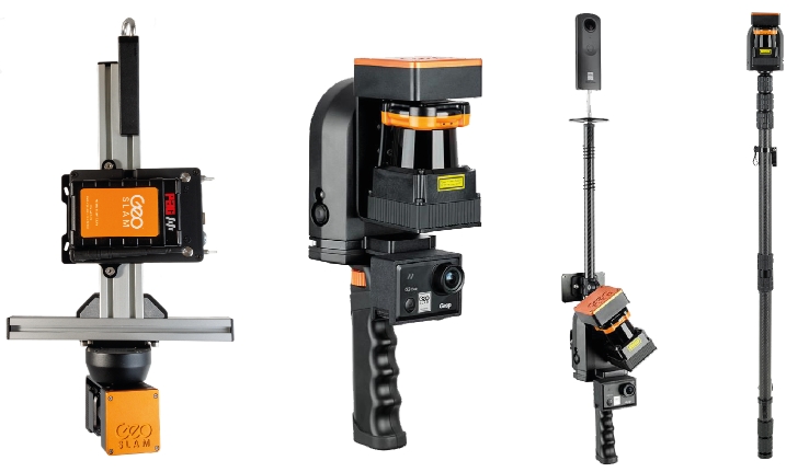
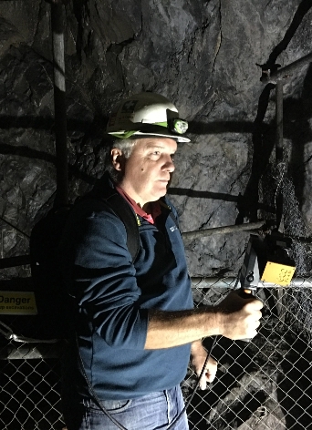
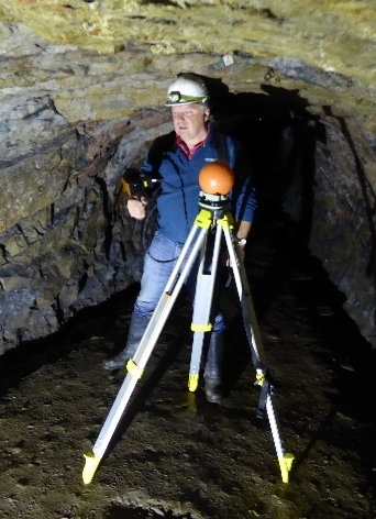
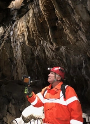
Create a 3D scan of an indoor, outdoor, or even underground environment. The ZEB Go scanning solution will allow you to create a professional 3D model of any environment including its objects.

Accuracy
The ZEB Go provides 3D scanning with a relative accuracy of 1-3cm dependant on the environment. This gives you accurate scans and fine details.

Portability
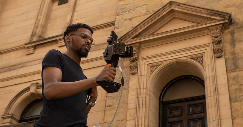
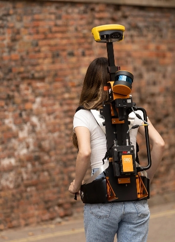
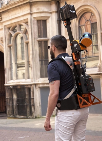
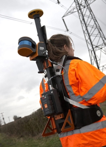
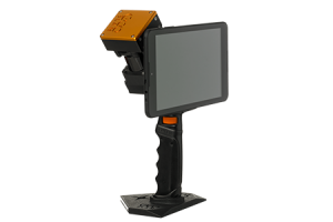
Light weight and portable, you can move freely whilst using this device. This portable 3D scanner features a rotating LiDAR sensor for the widest field of view. Its compact size and ergonomic design make it a delight to use.
Related products
-
FARO® Orbis™
Read moreFARO® Orbis™ is a unique mobile scanning solution created to optimize workflows and elevate productivity.
-
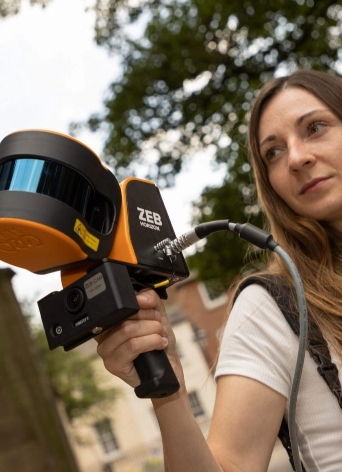
ZEB Horizon
Read morePoints per second: 300,000
Number of Sensors: 16
Relative accuracy: up to 6mm
Range: 100 meters -
ZEB Revo RT
Read morePoints per second: 43,000
Range: 30 meters
Relative accuracy: up to 6mm
Processing: real-time