Mining APPLICATIONS
Site Surveying
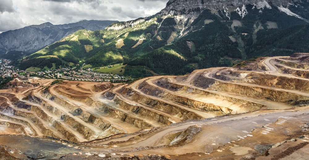
Mine and quarry operators are increasingly employing drones to perform daily site surveys. These allow for efficient resource allocation and monitoring of site usage over time.
Inventory Tracking
Increasingly, mining operations depend on aerial data to accurately measure and predict the output and efficiency of sites. This is done on a regular basis with little to no safety risk to the staff.
Planning
With collaboration and outsourcing on the rise in all industries, a need for accurate and detailed imagery for planning is essential. Manage traffic flow, blast planning and resource allocation for mining sites with drone data.
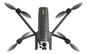
With a single automated flight, a mining drone can collect timely, geo-referenced imagery that is quickly transformed into a precise 3D copy of your site. You can then use this digital version to calculate volumes, perform site surveys, optimize traffic management, design road layouts and much more.
Drone-based data collection boost productivity; surveying projects that once took days or weeks using traditional surveying techniques are now possible in just a few hours. Plus, thanks to a drone’s ability to collect data from above, there is no downtime required while surveyors move around a pit, as can be the case when using terrestrial surveying instruments.
With fewer man hours required to produce large, accurate data sets, and no need for externally-sourced imagery, the result is vastly reduced costs. Many operators report that a single imaging drone – comparable in price to a mid-range GPS rover – can pay for itself in just a few months.
RELATED mining PRODUCTS
-
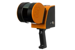
ZEB Horizon
Read morePoints per second: 300,000
Number of Sensors: 16
Relative accuracy: up to 6mm
Range: 100 meters

REQUEST A QUOTE
WHAT OUR CLIENTS SAY
We are absolutely loving the [eBee SQ] unit so far. It is user friendly and has many features that were not available on UAVs that we have used in the past. We can quickly create missions and get it in the air, and most importantly for us, it is able to map thousands of acres per day. I can’t say enough about the support [...]. Not only are they always available to answer questions, they even came across the country to give us a personal training session for our newly purchased eBee.
Daniel Carr - G & C Imaging Solutions 


