


Linear mapping made easy
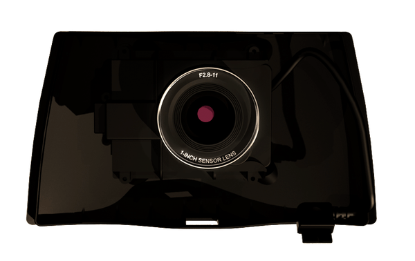
EagleNXT Corridor
EagleNXT Corridor is a combined EagleNXT S.O.D.A./eMotion software solution that makes corridor mapping easy. With its portrait camera position, EagleNXT Corridor requires 30% fewer images to map the same linear route. This, in turn, means 30% shorter processing times
Product
FEATURES
Stunning 3D Reconstructions
- Wide field of view ensures excellent 3D results in vertically-focused environments
- Optimised for quick, robust image processing with Pix4Dmapper
Vast Mapping Coverage
- Vast coverage over flat, homogeneous terrain (up to 500 ac / 1,235 ac per 122 m / 400 ft flight, eBee X with Endurance Extension)
- Optimised for quick, robust image processing with Pix4Dmapper
Direct In-Flight Georeferencing
- Records the GPS position and exact orientation of EagleNXT S.O.D.A. 3D at each capture location
- Less image overlap is required, enabling greater flight coverage and quicker image processing
- Improved reconstructions over difficult environments (water, forests etc.)
FIND THE RIGHT SOLUTION
Contact one of our solutions specialists to explore the drones, sensors and software
options that will work best for you.