Canada’s only authorized distributor
for AgEagle and Parrot drones.
for AgEagle and Parrot drones.
Canada’s only authorized distributor for EagleNXT drones.
$6,229.00

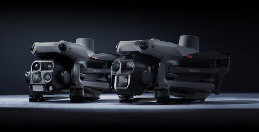
he built-in model can detect vehicles, vessels, and subjects during search and rescue operations or routine flights. It also supports switching to other models, enabling the expansion of application scenarios. Additionally, it supports high-res grid photos and features powerful tracking capabilities.
The laser range finder enables real-time precise measurement. Through simple operations such as pin point, line drawing, and area calculation, it can complete tasks like marking target locations for inspection purposes or calculating the area of a wildfire. Additionally, users can share info via the DJI Pilot QR code or FlightHub 2 with relevant personnel to enhance collaboration and workflow efficiency.
DJI Pilot 2 can highlight the center position of the camera frame and ground area observed. It can display the surveyed area on the map, making it especially useful for patrols, and rescue operations in mountainous terrain without clear landmarks.
Contact one of our solutions specialists to explore the drones, sensors and software
options that will work best for you.
Thermal and RGB Dual Sensor
5.5 miles Transmission Range
42 minutes flight time
Moonlight Algorithm
6K 1″ CMOS Sensor
5.5 miles Transmission Range
42 minutes flight time
Moonlight Algorithm
8K HD video
640×512 Resolution
Refresh rate: 30Hz
5.5 miles Transmission Range
40 minutes flight time
Picture-in-picture mode
10 Thermal Colour Palettes
20 km DJI O3 Enterprise Transmission
55-min Max Flight Time
IP55 Rating
6-Directional Sensing & Positioning
DJI RC Plus
Primary Flight Display
Night-Vision FPV Camera
6K HD video
1″Sensor
10-BIT HDR
9KM Transmission Range
40 minutes flight time
3x Lossless
360° Obstacle Avoidance
15 km Max Transmission
55-min Max Flight Time
IP45 Rating
Smart Inspection
Smart Pin & Track
Primary Flight Display


