The eBee Plus can map a larger area, per flight, than any drone in its weight class, so you can maximise your efficiency & plan projects with confidence.
ACCURATE
The eBee Plus survey drone includes High-Precision on Demand; built-in RTK/PPK functionality to activate out of the box or when required. It‘s survey-grade accuracy you control, without the need for ground control points.
FLEXIBLE
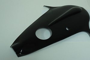
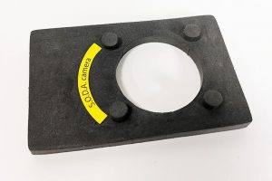
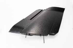
The eBee Plus offers a camera to suit virtually every geospatial application: the AgEagle S.O.D.A. (supplied) for photogrammetric drone mapping, plus thermal infra-red & multispectral options.
Always On Worry-free Drone Service
Providing professional drone operators with true peace of mind. Because business never stops.