OUR INDUSTRIES
Land Surveying
Urban Planning and Land Management
Archaeology
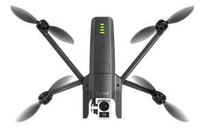
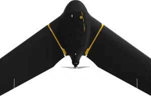
Drones can reduce the time spent collecting accurate data. By acquiring data from the sky – in the form of geo-referenced digital aerial images, with resolutions as sharp as 1.5 cm (0.6 in) per pixel – you can gather millions of data points in one short flight.
With collection made so simple, you can focus your energy on using and analyzing data, rather than working out how to gather it.
Less time spent on the ground means staff safety is improved by minimizing risk to surveying teams when measuring sites such as mines, unstable slopes and transport routes. Simply choose take-off and landing locations that are out of harm’s way.
RELATED SURVEYING PRODUCTS
-
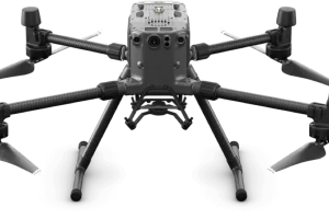
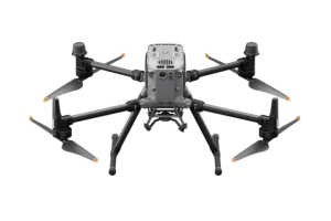
Matrice 300 RTK
$8,950.00 Add to cart15 km Max Transmission
55-min Max Flight Time
IP45 Rating
Smart Inspection
Smart Pin & Track
Primary Flight Display -
Matrice 350 RTK
$10,939.00 Add to cart20 km DJI O3 Enterprise Transmission
55-min Max Flight Time
IP55 Rating
6-Directional Sensing & Positioning
DJI RC Plus
Primary Flight Display
Night-Vision FPV Camera

REQUEST A QUOTE
WHAT OUR CLIENTS SAY


