


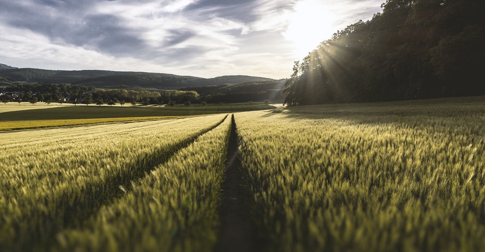
Crop monitoring
A professional drone, such as the multispectral eBee SQ agriculture drone, provides a holistic view of a crop’s growth, enabling agricultural professionals to quickly and precisely identify issues, and better target their field scouting. Multi-year drone data also allows the better planning and monitoring of improvements, such as ditches and evolving fertilizer applications.
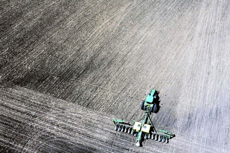
Soil assessment
Drone data can be employed to extract soil characteristics. These include temperature, moisture, slope, elevation and more. This ability enables more accurate soil sampling and the production of more suitable seeding prescriptions.

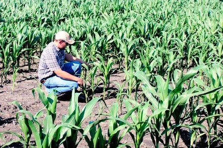
Plant emergence & population
Professionals like agronomists are increasingly using the data from agricultural drones to better understand which plants emerge, as well as population and spacing metrics. This information is then used to drive replanting decisions, thinning and pruning activity, and to improve crop models.
-
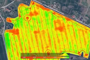
Pix4Dfields
Read moreCreate accurate field maps, generate insights and analyze field data in real time to increase crop productivity