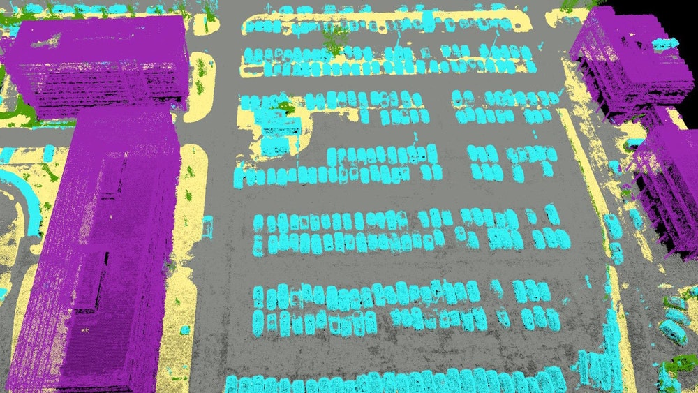
This professional photogrammetry software uses images to generate point clouds, digital surface and terrain models, orthomosaics, textured models and more. It is most often used by geospatial professionals such as surveyors and civil engineers.
Obtain results with sub-centimetre accuracy. 1-2 pixel GSD in X, Y directions 1-3 pixels GSD in the Z direction
COMPLETE CONTROL OVER YOUR PROJECT
Define an area of interest, select processing options, add ground control points or edit point clouds, DSMs, meshes, and orthomosaics.
YOUR WORKFLOW, YOUR CHOICE
Use default templates for automatic processing, or custom settings for full control of quality, data, and projects. Choose when and how to use the cloud and desktop processing.
FIND THE RIGHT SOLUTION
Contact one of our solutions specialists to explore the drones, sensors and software options that will work best for you.