


DJI, Drones
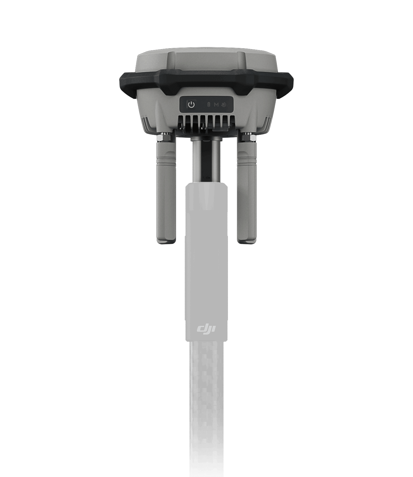
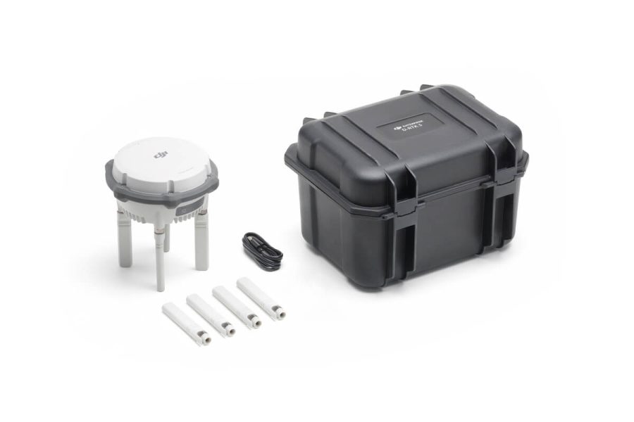
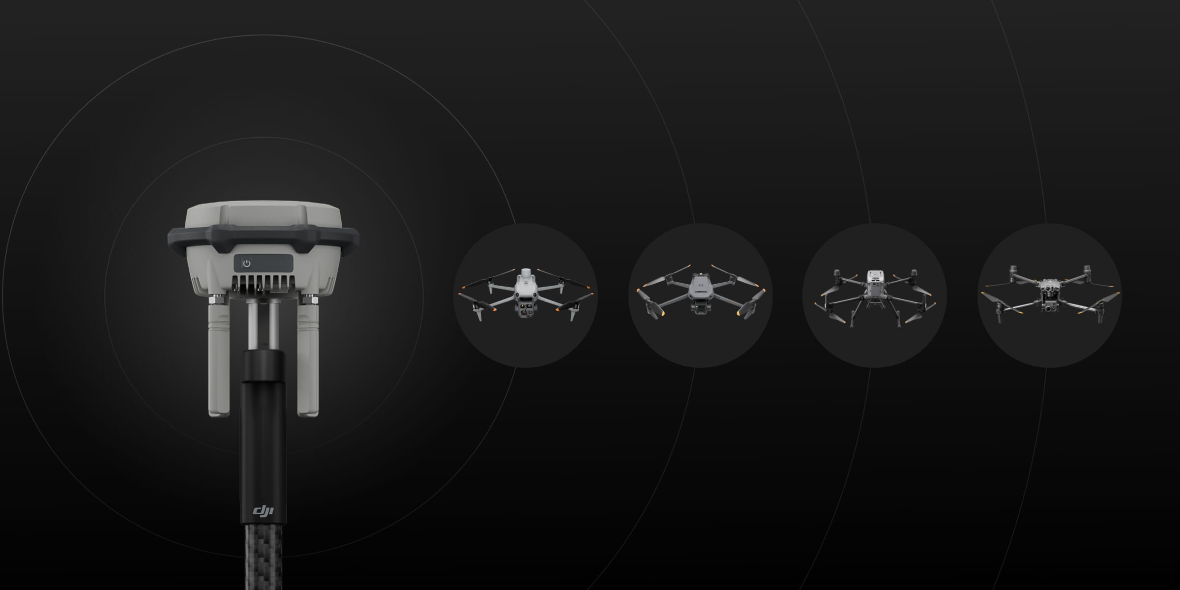
D-RTK 3 Multifunctional Station
$2,205.00
- Centimeter-Level Positioning
- Multi-Mode Functionality (Broadcast, Relay, Rover)
- Supports Major GNSS Systems
- Seamless Integration with DJI Software
- IP67 Weather-Resistant Design
Related products
-
Autel Robotics EVO II Dual 6K Enterprise V3
$5,750.51 Add to cart6K 1″ CMOS Sensor
5.5 miles Transmission Range
42 minutes flight time
Moonlight Algorithm -
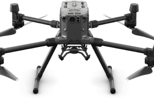
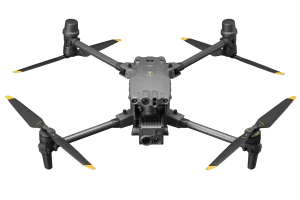
DJI Matrice 30
$8,649.00 Add to cart- 48MP 1/2″ CMOS Sensor Camera
- Laser Range Finder 3-1,200 m
- 41min Flight Time
- 15m/s Wind Resistance
-
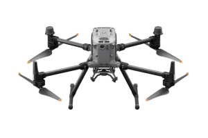
Matrice 300 RTK
$8,950.00 Add to cart15 km Max Transmission
55-min Max Flight Time
IP45 Rating
Smart Inspection
Smart Pin & Track
Primary Flight Display -
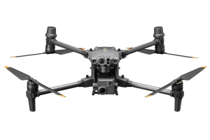
DJI Matrice 4E
$6,229.00 Add to cart- 48MP 4/3″ CMOS Sensor Camera
- Laser Range Finder 3-1,800 m
- 49min Flight Time
- 12m/s Wind Resistance
-
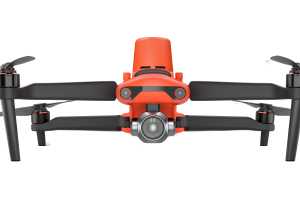
Autel Robotics EVO II Pro 6K Rugged Bundle
$3,495.00 Add to cart6K HD video
1″Sensor
10-BIT HDR
9KM Transmission Range
40 minutes flight time
3x Lossless
360° Obstacle Avoidance -
DJI Matrice 30T Thermal
$12,039.00 Add to cart- 48MP 1/2″ CMOS Sensor Camera
- Infrared Image Super-resolution Mode: 1280×1024
Normal Mode: 640×512 Thermal Camera - Laser Range Finder 3-1,200 m
- 41min Flight Time
- 15m/s Wind Resistance
-
-
DJI Mavic M3T Thermal Enterprise
$6,880.00 Add to cart- -20° to 150° C (-4° to 302° F, High Gain Mode)
0° to 500° C (32° to 932° F, Low Gain Mode) - 640×512@30fps
- 45min Flight Time
- 32km Flight Distance
- -20° to 150° C (-4° to 302° F, High Gain Mode)
-
Matrice 350 RTK
$10,939.00 Add to cart20 km DJI O3 Enterprise Transmission
55-min Max Flight Time
IP55 Rating
6-Directional Sensing & Positioning
DJI RC Plus
Primary Flight Display
Night-Vision FPV Camera -
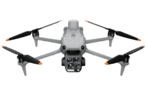
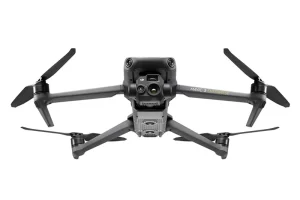
DJI Mavic M3E Enterprise
$4,490.00 Add to cart- 45min flight time
- 56x Hybrid Zoom
- 20MP 4/3cmos Sensor Camera
- DJI O3 Enterprise Transmission
-
Autel Robotics EVO II DUAL 640 Standard Rugged Bundle
Read more8K HD video
640×512 Resolution
Refresh rate: 30Hz
5.5 miles Transmission Range
40 minutes flight time
Picture-in-picture mode
10 Thermal Colour Palettes -
Autel Robotics EVO II Dual 640T Enterprise V3
Read moreThermal and RGB Dual Sensor
5.5 miles Transmission Range
42 minutes flight time
Moonlight Algorithm

