cardan68, Author at CartoCanada
Canada’s only authorized distributor
for AgEagle and Parrot drones.

cardan68

eBee X drone flying over a landscape, promoting CartoCanada's BVLOS webinar

Find out how the AgEagle eBee X can enhance your operations with BVLOS operations in Canada

Presented by CartoCanada in partnership with AgEagle and ALTOHELIX Corporation. Come learn about the application process, use of visual observers, and why the eBee X fixed-wing drone is the simplest way for organizations to get approval from Transport Canada for BVLOS flight operations. In this webinar you’ll learn about: ✅ Current considerations for Canada’s BVLOS

Find out how the AgEagle eBee X can enhance your operations with BVLOS operations in Canada Read More »

GeoSLAM / CartoCanada

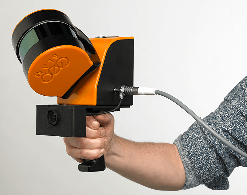
GeoSLAM/CartoCanada Partnership Announcement

GeoSLAM is excited to announce the addition of CartoCanada to our worldwide dealer network.  CartoCanada is a leading provider of fixed wing drones with offices in Alberta and Ontario, Canada. Through their leading sales and support team, they have extensive experience providing solutions to mining and drone customers across Canada. With the addition of GeoSLAM’s industry leading SLAM solutions – CartoCanada will now be able

GeoSLAM/CartoCanada Partnership Announcement Read More »

Canadian Farming Season

And They’re Off: Deveron UAS Commences Work for Canadian Farming Season

Toronto-based Deveron UAS Corp., an enterprise drone data services company focused on agriculture, has commenced flying for this year’s farming season in Canada. Deveron says it is focused on revenue-generating and research-driven drone data collection for the growing season in western and eastern Canada as it continues to build an on-demand, enterprise data collection network

And They’re Off: Deveron UAS Commences Work for Canadian Farming Season Read More »