Shop
Showing 121–125 of 125 results
-

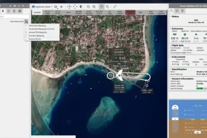
Pix4Dcloud
Read moreGet an instant view of any jobsite from anywhere, on your browser, in 2D and 3D, with results you can measure, explore, compare, share and collaborate on.
-

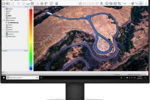
Pix4Dmatic
Read morePix4Dmatic is designed to work with the latest generation of drones for professional applications and transforms your large number of images into accurate point clouds, DSMs and orthomosaics.
-

-
-